
The Tampa Bay community
Tampa Bay, by neighborhood.
Three cities share one bay and disagree about nearly everything else. Pick a side, then a street.
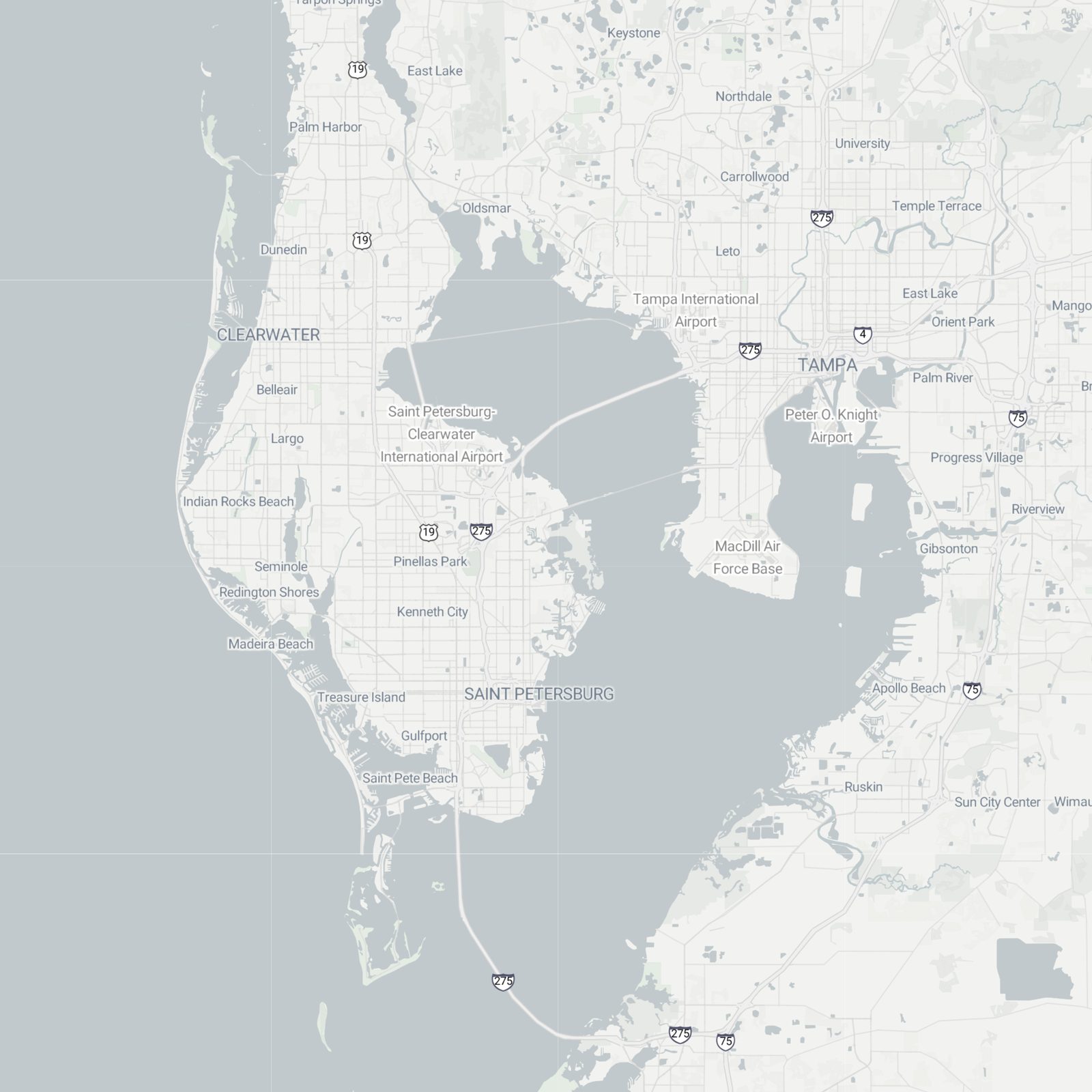 TampaSt. PetersburgClearwaterCourtney CampbellHoward FranklandGandySunshine SkywayHyde ParkDavis IslandsYbor CitySeminole HeightsWestchaseOld NortheastSnell IsleIsland EstatesSafety HarborGulfportDunedin© Stadia Maps © OpenMapTiles © OpenStreetMap contributors
The bridges are the whole story
Where you land decides your Tuesday.
- Downtown Tampa to downtown St. Pete, Howard FranklandAbout 30 min
- Tampa to Clearwater Beach, Courtney CampbellAbout 40 min
- Downtown Tampa to the airportAbout 15 min
- St. Pete to the airportAbout 25 min
- St. Pete to the Gulf beachesAbout 25 min
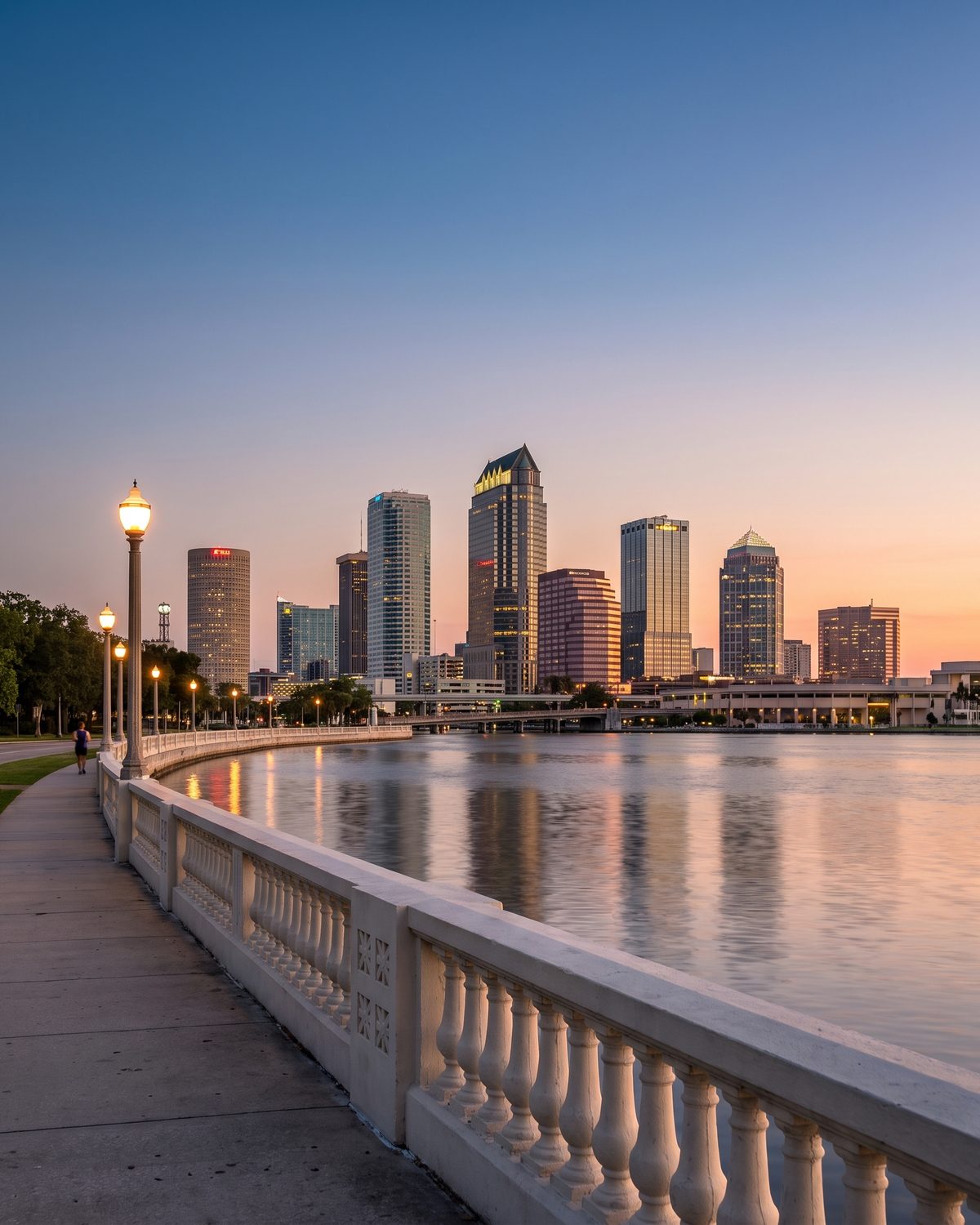
Tampa
The east shore.
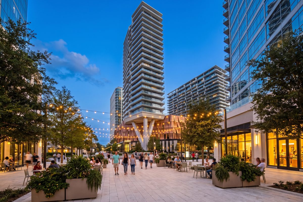
Downtown and the river, the Cuban heart of Ybor, and South Tampa running down the peninsula to the base.
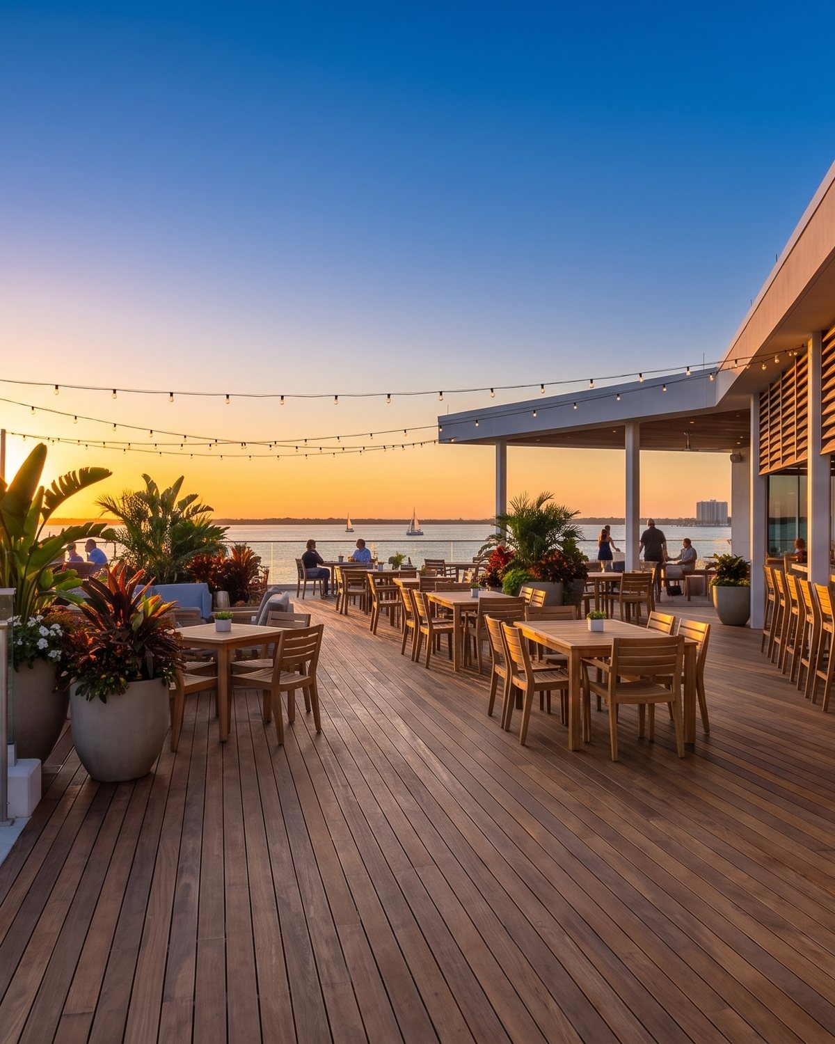
St. Petersburg
The peninsula.
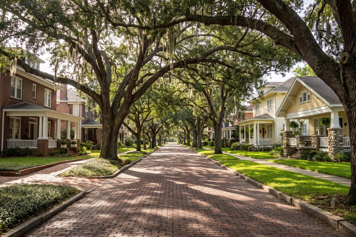
Brick streets under banyans, a waterfront park system that runs for miles, and a downtown that made the Pier its front porch.
Downtown & the Pier
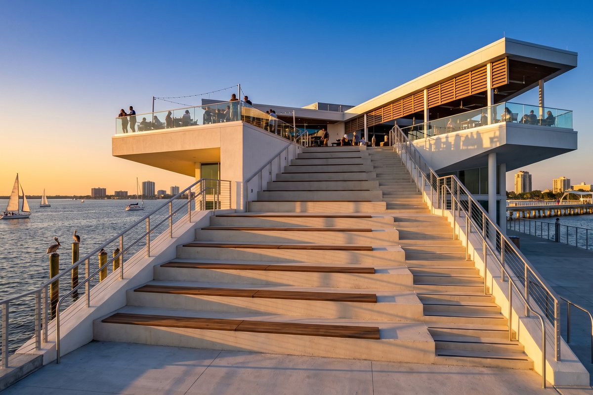
Beach Drive, the museums, Central Avenue, and the Pier at the end of it all.
Condos · culture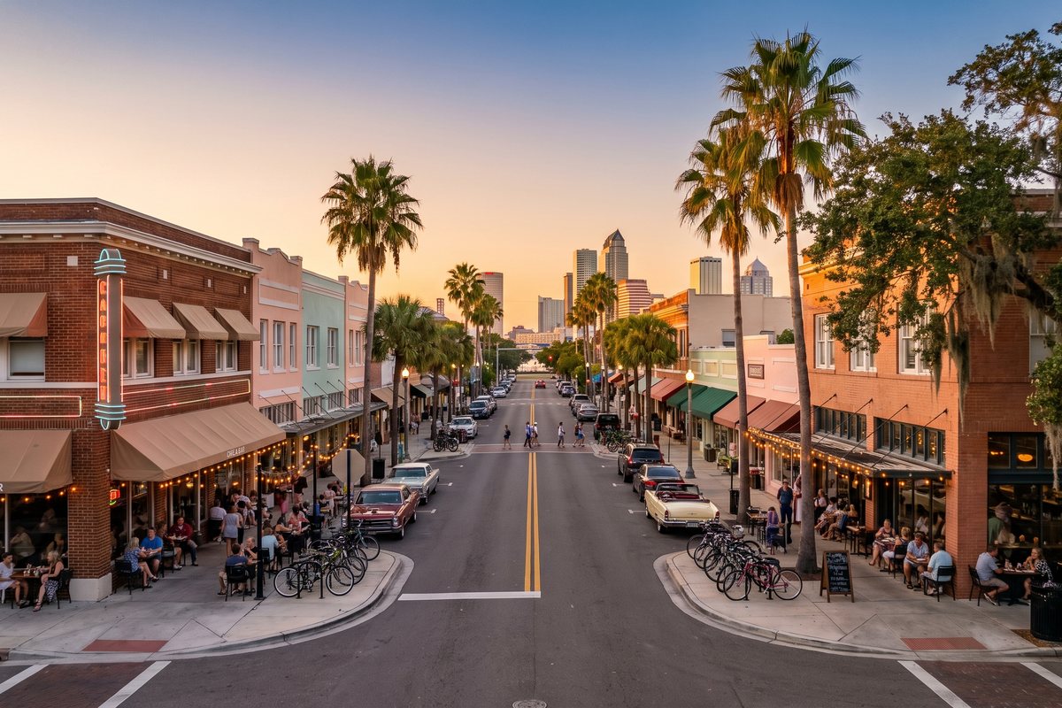
The Edge District
Central Avenue: patios, string lights, vintage signs, the towers at the end of the street.
Lofts · nightlife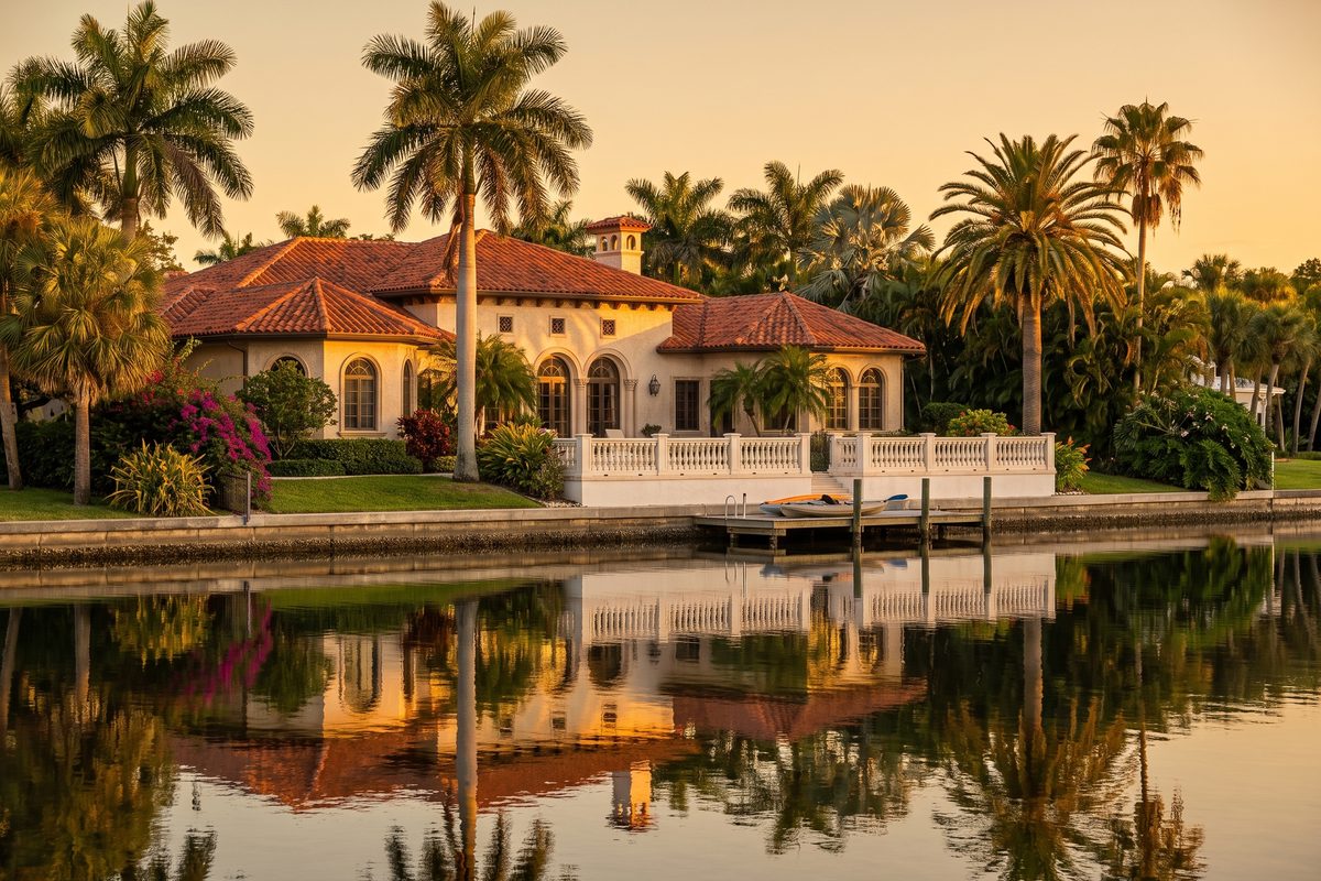
Snell Isle
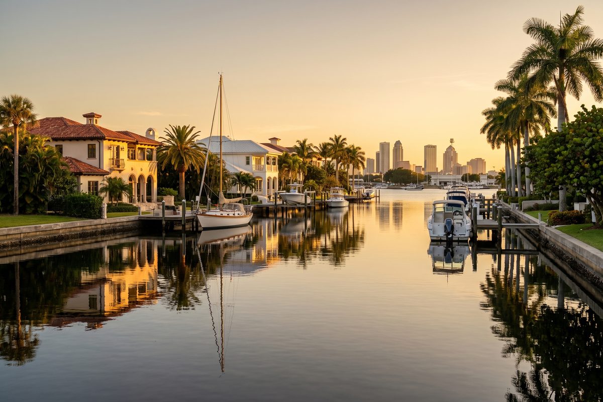
Mediterranean revival on the water, a golf club, and Coffee Pot Bayou's manatees.
Waterfront · golfClearwater & the beaches
The Gulf coast.
White sand, the Intracoastal, and a string of barrier islands from Dunedin down to St. Pete Beach.
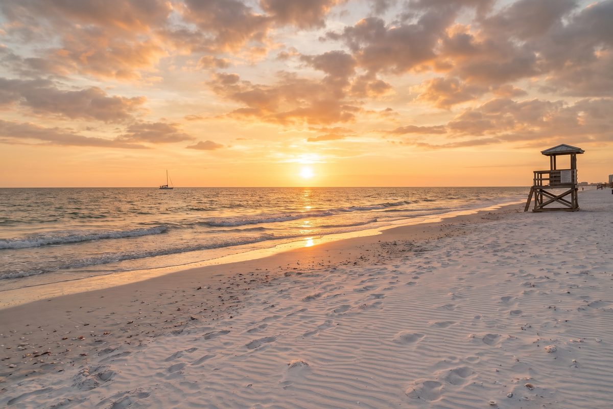
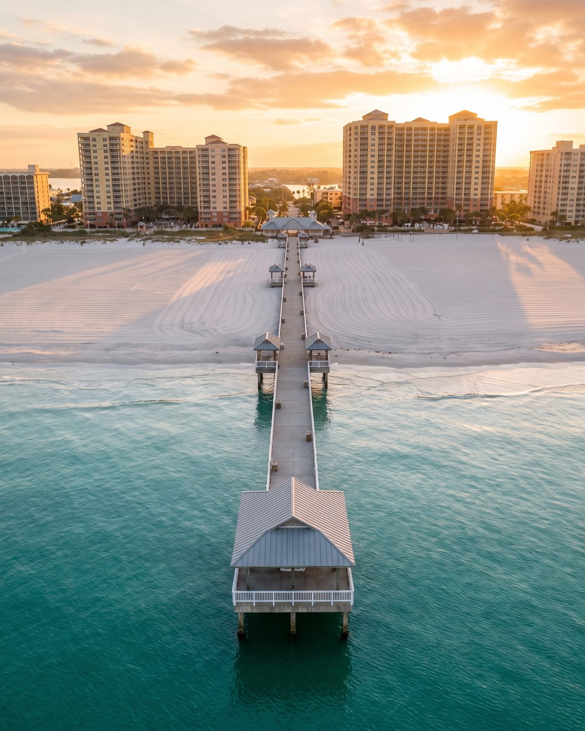
Clearwater Beach
The beach that keeps winning the lists, Pier 60 and the sunset festival every night.
Beach · condos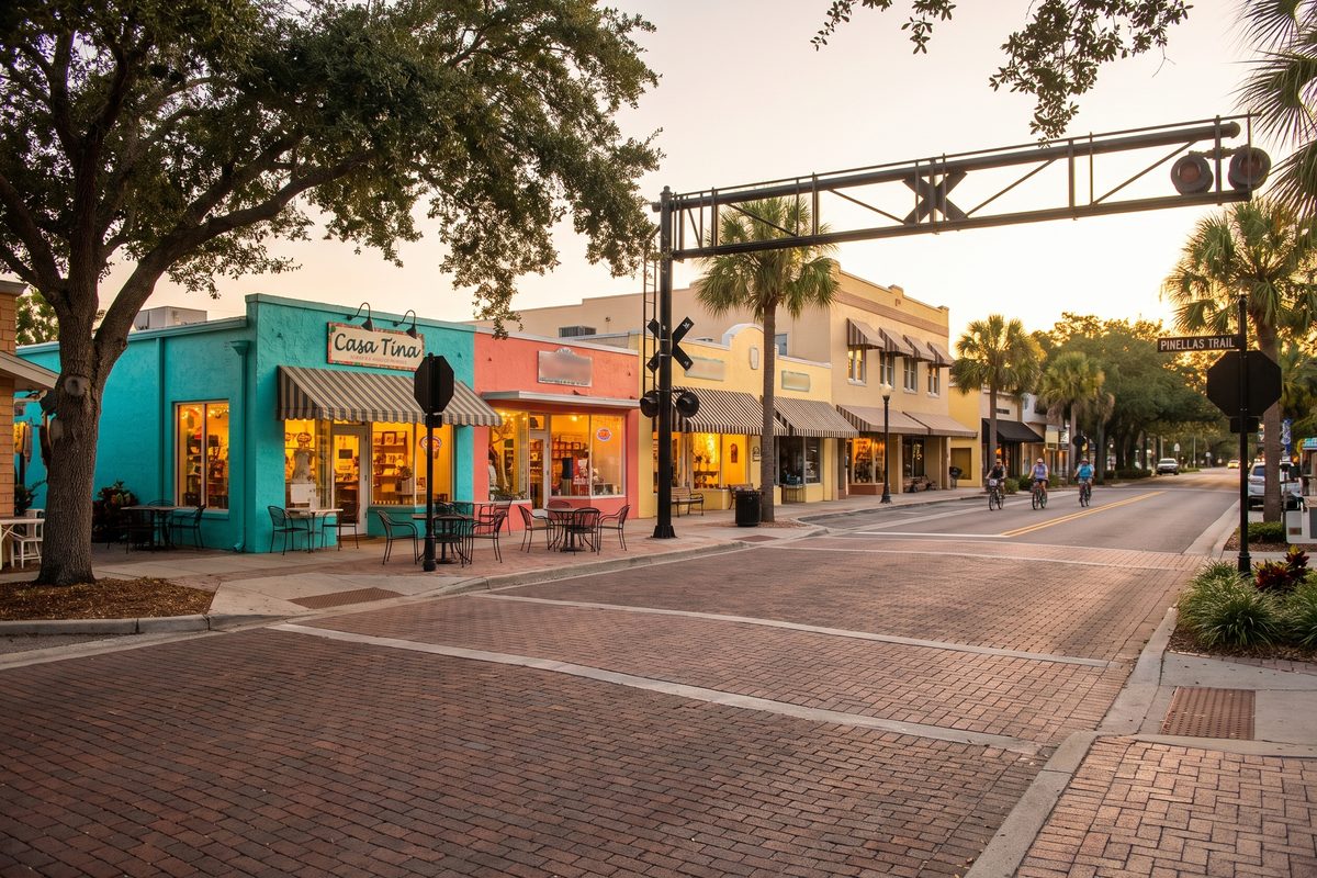
Dunedin
Scottish roots, a walkable main street, the Pinellas Trail and the ferry to Caladesi.
Main street · trail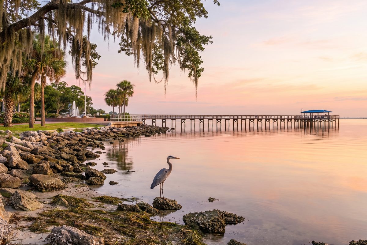
Safety Harbor
A spa town on Old Tampa Bay with a real downtown, twenty minutes from the airport.
Small town · bayStill deciding
Which side of the bridge is yours?
Tell me where you work, where you play and what you drive. I'll draw you a circle on the map.